Background
Launched in 2011, the Gulf Atlas offers more than just maps.
Links to download data allow access to each map's source. Dataset descriptions explain why the data are important to coastal and marine ecosystems. Metadata records provide details on how the data were collected. WMS and REST services are available to export map layers.
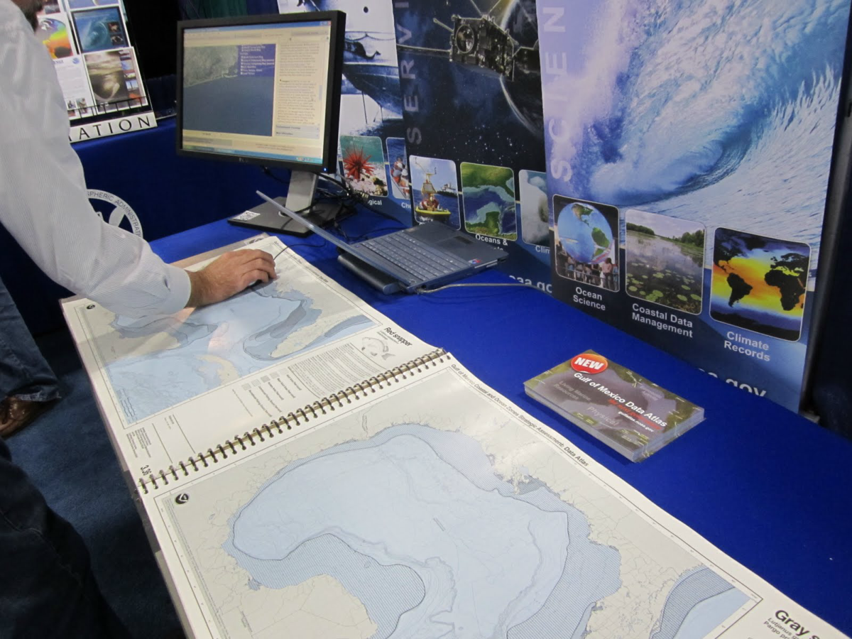
Gulf Coast residents, scientists, and natural resource managers often turn to NOAA for data and information. NOAA National Ocean Service's Gulf of Mexico Coastal and Ocean Zones Strategic Assessment Data Atlas, published in 1985, is the well-regarded print source for these data. The Gulf Atlas updates and expands on this print publication in an online, interactive format.
The Atlas' Format

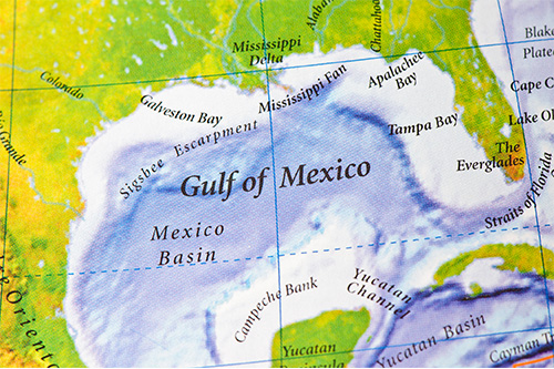
The Gulf Atlas includes data from all five Gulf States (Alabama, Florida, Louisiana, Mississippi, and Texas). The seaward boundaries of the Atlas extend to the Yucatan Channel and to the Straits of Florida. Maps are available in six topic areas:
- Physical (e.g., bathymetry, climatology)
- Biotic (e.g., chemosynthetic communities, aquatic vegetation, deep sea corals)
- Living Marine Resources (e.g., oysters, shrimp, grouper)
- Socioeconomic Conditions (e.g., shipping & navigation, social well-being)
- Environmental Quality (e.g., water quality, nutrients, discharges)
- Jurisdictions (e.g., marine, fishery closures)
Each map has a description, written by subject matter experts, that explains how the data were gathered and their relevance to the Gulf. Users can download data via REST services. High resolution images of the original 1985 atlas maps are also available.
Resources
Publications
- 1985 Gulf of Mexico Coastal and Ocean Zones Strategic Assessment: Data Atlas (National Ocean Service)
- Discover the Gulf of Mexico Through Maps (NCEI News)
- A Long-term View of the Gulf of Mexico (NCEI News)